
AI‑powered autonomous UAV inspection combines three core technology pillars: autonomous flight systems, advanced multi‑sensor payloads, and intelligent computer vision. Together, these technologies enable comprehensive, rapid, and highly accurate inspection of wind turbines and solar panels — delivering insights that are simply impossible to achieve through manual methods.
The Inspection Workflow
STEP 1: Mission Planning — Flight paths are autonomously planned using asset data and satellite imagery to ensure complete coverage of every turbine blade, tower, and solar panel.
STEP 2: Autonomous Data Capture — Drones execute pre‑programmed flight routes, capturing high‑resolution RGB and thermal imagery with precise georeferencing. Multi‑drone swarm operations can cover large sites in a fraction of the time.
STEP 3: AI‑Powered Analysis — Captured imagery is processed through computer vision and machine learning algorithms that automatically detect, classify, and measure defects.
STEP 4: Reporting & Integration — Georeferenced findings are compiled into detailed inspection reports, ready for export to GIS, asset management systems, or maintenance workflows.

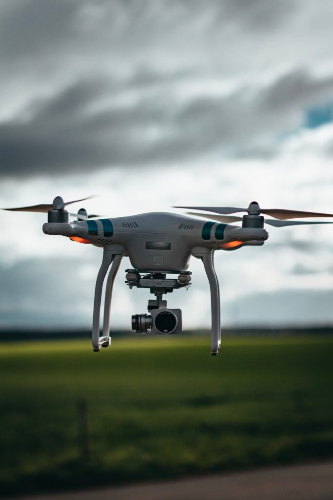
Sensor Technologies
High‑Resolution RGB Imaging — Captures detailed visual data for detecting surface defects including cracks, erosion, delamination, corrosion, missing components, and debris accumulation. Ultra‑high‑resolution sensors (64MP and above) enable detection of sub‑millimetre defects.
Thermal Imaging (Infrared) — Detects temperature variations that indicate underlying issues:
Solar Panels — Hotspots caused by faulty cells, string faults, and cell damage. Thermal anomalies account for 15–30% of energy losses in PV systems.
Wind Turbines — Subsurface delamination, lightning strike damage, and internal blade defects that are invisible in visible light.
Multispectral Sensors — Capture data across multiple light bands to provide additional insights into material condition and performance.
LiDAR (Optional) — Enables precise 3D mapping of assets and terrain, useful for structural assessment and change detection over time.
RTK GNSS Positioning — Real‑time kinematic GPS provides centimetre‑level precision for accurate georeferencing of every image, enabling precise defect location and repeatable inspections.
AI and Computer Vision Technologies
Object Detection & Classification — Deep learning models identify and classify assets, components, and defects within imagery. These models can detect:
Individual solar panels and wind turbine blades
Cracks, chips, and erosion
Missing bolts, fasteners, and components
Soiling, debris, and vegetation encroachment
Thermal Anomaly Detection — Specialized AI models are trained specifically to detect subtle thermal anomalies in infrared imagery. These models achieve 95–99% accuracy in detecting hotspots and defective modules.
Defect Segmentation & Measurement — Semantic and instance segmentation models precisely outline defect boundaries and measure affected areas with georeferenced accuracy.
Change Detection — By aligning repeat inspections of the same asset, AI algorithms automatically surface what has degraded, cracked, or appeared between flights — enabling trend analysis and predictive maintenance.
Asset Counting & Inventory — AI automatically counts panels, modules, and components across entire sites, providing accurate inventory data.